5 Days Swat Kashmir Tour
Swat + Kashmir
5D · 4N · By road
Rs 108,508 onwards
PTG Verified
Info@pakistantravelguide.pk
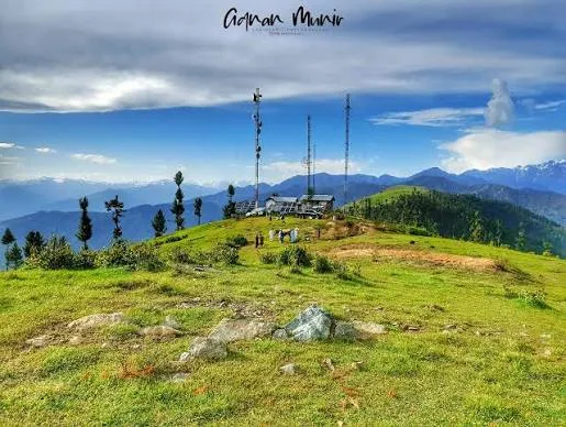
Shangla
Mountain pass linking Swat toward Besham / Indus.
Famous for
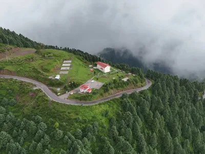
Forested pass and highest point of Shangla District on the Swat–Besham road, with a forest rest house, pine forests and heavy winter snowfall.
Temperatures are typical seasonal ranges. Mountain weather changes quickly, so check the forecast before you travel.
Famous for: Forested pass and highest point of Shangla District on the Swat–Besham road, with a forest rest house, pine forests and heavy winter snowfall.
Shangla Top is the high pass on the Swat–Besham route toward Kashmir.
Shangla Top is part of the itinerary in these 2 packages.
Swat + Kashmir
5D · 4N · By road
Rs 108,508 onwards
PTG Verified
Swat + Kashmir
7D · 6N · By road
Rs 151,088 onwards
PTG Verified
Share dates, group size, and destinations — get a clear quotation on WhatsApp.