
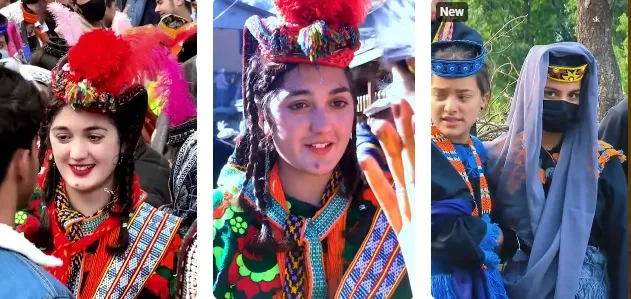
Kalash Festival Tour
Chitral
7D · 6N · By road
Quote on request
PTG Verified

Famous for
The headquarters town of Upper Dir on the Dir River, at the foot of the Lowari Pass road to Chitral; known for its locally made Dir knives and as a base for Kumrat Valley.
Temperatures are typical seasonal ranges. Mountain weather changes quickly, so check the forecast before you travel.
Famous for: The headquarters town of Upper Dir on the Dir River, at the foot of the Lowari Pass road to Chitral; known for its locally made Dir knives and as a base for Kumrat Valley.
Dir sits on the road from the Swat Motorway toward Lowari Tunnel. Pakistan Travel Guide’s 5 days Chitral tour passes Dir on day 1 toward Nagar.
Dir is part of the itinerary in these 6 packages.
Chitral
7D · 6N · By road
Quote on request
PTG Verified

Chitral · Kumrat
8D · 7N · By road
Rs 263,010 onwards
PTG Verified

Kumrat & Murree
6D · 6N · By road
Rs 382,000 onwards
PTG Verified
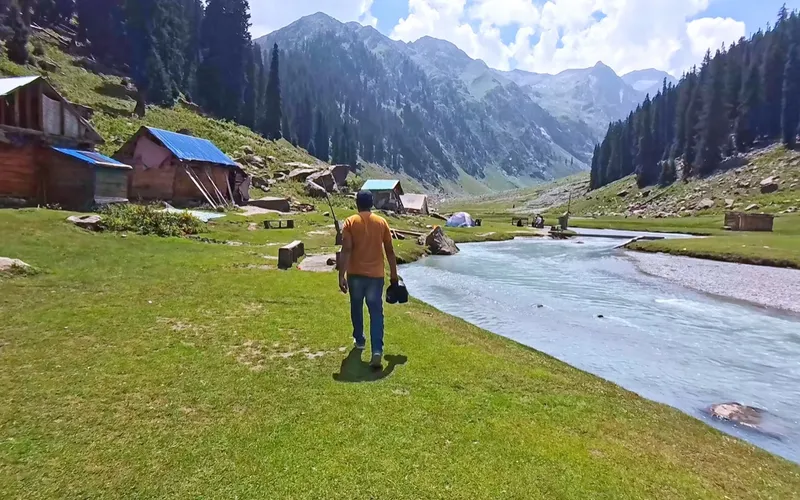
Kumrat Valley
4D · 3N · By road
Rs 134,657 onwards
PTG Verified

Chitral
9D · 8N · By road
Rs 400,000 onwards
PTG Verified
Chitral
5D · 4N · By road
Rs 200,866 onwards
PTG Verified
Share dates, group size, and destinations — get a clear quotation on WhatsApp.


