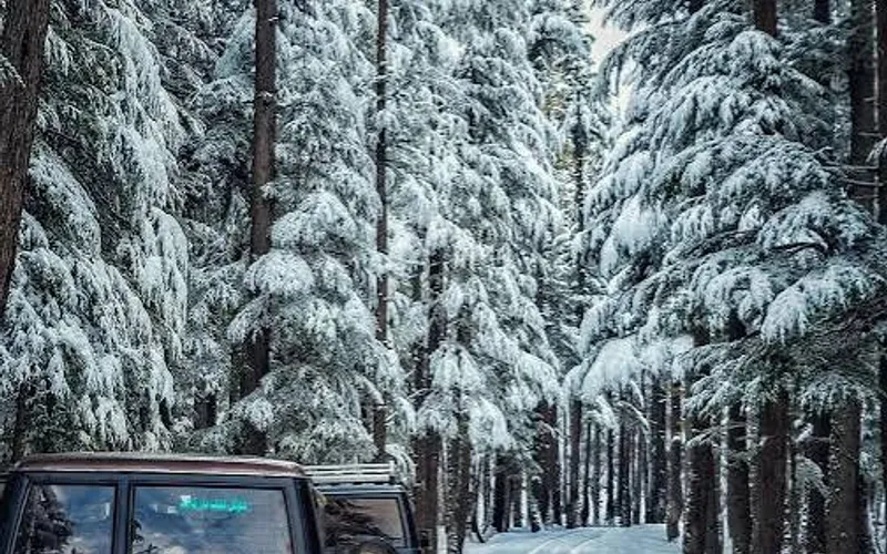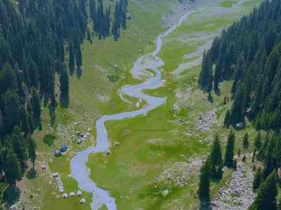
9 Days Chitral Kumrat Kalam Tour
Chitral
9D · 8N · By road
Rs 400,000 onwards
PTG Verified
Info@pakistantravelguide.pk

Kalam
Lush valley west of Kalam with streams and mountain villages.
Famous for
A forested side valley of upper Swat on the Utror River, known for green pastures, riverside camping and as the gateway to Kandol Lake and the Badgoi Pass road to Kumrat.
Temperatures are typical seasonal ranges. Mountain weather changes quickly, so check the forecast before you travel.
Famous for: A forested side valley of upper Swat on the Utror River, known for green pastures, riverside camping and as the gateway to Kandol Lake and the Badgoi Pass road to Kumrat.
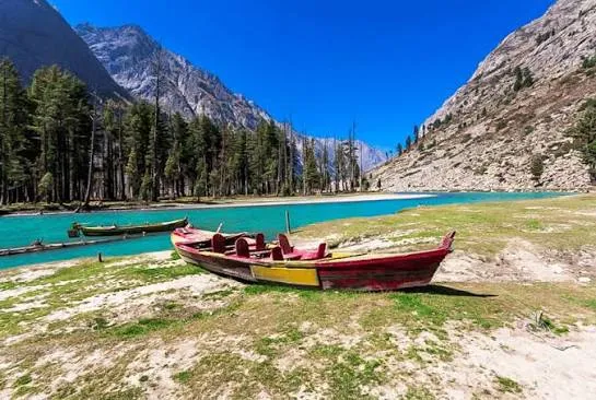
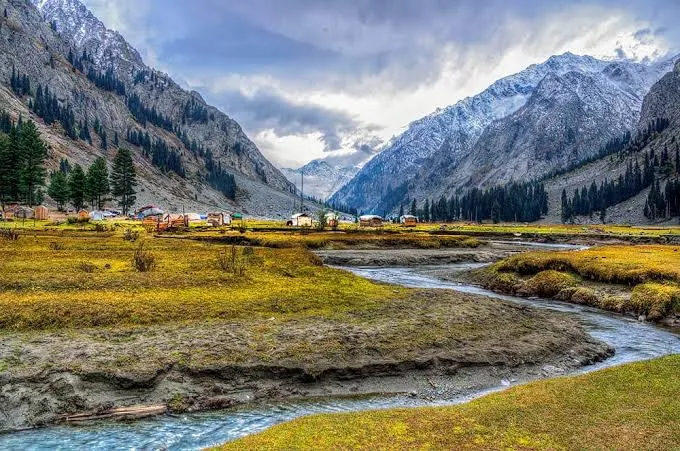
Utror Valley is a scenic side valley from Kalam with green landscapes and traditional villages.
Utror Valley is part of the itinerary in these 3 packages.
Chitral
9D · 8N · By road
Rs 400,000 onwards
PTG Verified
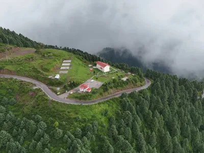
Swat + Kashmir
5D · 4N · By road
Rs 108,508 onwards
PTG Verified
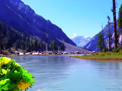
Kalam
5D · 4N · By road
Rs 113,477 onwards
PTG Verified
Share dates, group size, and destinations — get a clear quotation on WhatsApp.