
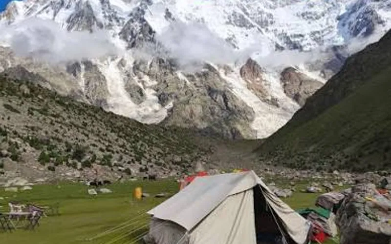
Rupal Valley quick facts
- Height above sea level
- 10,000 ft
- about 3,050 m
- Nearest city
- Astore
- About 32 km to Tarishing (about 2 hours by jeep), then on foot into the valley
- Summer (Jun–Aug)
- 8°C to 22°C
- Winter (Dec–Feb)
- -20°C to -2°C (road often closed by snow)
Famous for
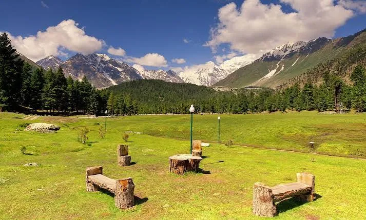
The valley below the Rupal Face of Nanga Parbat, often described as the highest mountain wall on Earth at about 4,500 m from base to summit. It is the trekking route to Herrligkoffer Base Camp.
Temperatures are typical seasonal ranges. Mountain weather changes quickly, so check the forecast before you travel.
About Rupal Valley
Quick facts
- Height above sea level: 10,000 ft (about 3,050 m)
- Nearest city: Astore — About 32 km to Tarishing (about 2 hours by jeep), then on foot into the valley
- Summer (Jun–Aug): 8°C to 22°C
- Winter (Dec–Feb): -20°C to -2°C (road often closed by snow)
Famous for: The valley below the Rupal Face of Nanga Parbat, often described as the highest mountain wall on Earth at about 4,500 m from base to summit. It is the trekking route to Herrligkoffer Base Camp.
Add Rupal Valley to your itinerary
Share dates, group size, and destinations — get a clear quotation on WhatsApp.