
7 Days Swat and Kashmir Tour
Swat + Kashmir
7D · 6N · By road
Rs 151,088 onwards
PTG Verified
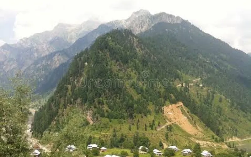
Neelum Valley
Upper Neelum Valley hub — base for Arrang Kel jeep and trek.
Famous for
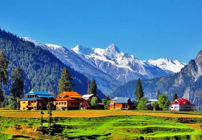
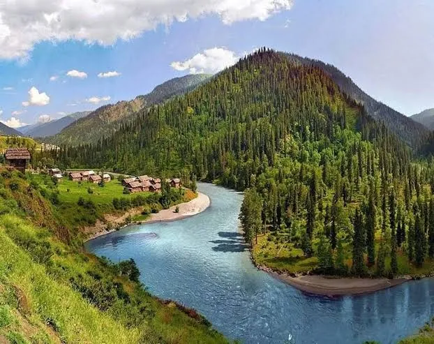
A village where the Shounter stream meets the Neelum River, 19 km upstream of Sharda. It is the base for Arrang Kel, Taobat and treks toward Shounter Pass and Sarwali Peak.
Temperatures are typical seasonal ranges. Mountain weather changes quickly, so check the forecast before you travel.
Famous for: A village where the Shounter stream meets the Neelum River, 19 km upstream of Sharda. It is the base for Arrang Kel, Taobat and treks toward Shounter Pass and Sarwali Peak.
Kel is the upper Neelum Valley town used as a base for Arrang Kel.
Kel Neelum Valley is part of the itinerary in these 2 packages.
Swat + Kashmir
7D · 6N · By road
Rs 151,088 onwards
PTG Verified

Neelum Valley
4D · 3N · By road
Rs 82,560 onwards
PTG Verified
Share dates, group size, and destinations — get a clear quotation on WhatsApp.